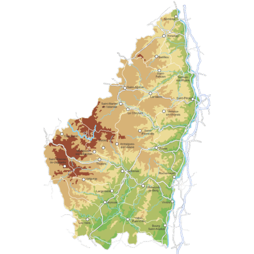
For information on the main base maps used, please see the detailed legend below.
General features of UMAP / OpenStreetMap maps
At the top left of the page, you will find the following feature icons:

Zoom
Enlarge or reduce the map

Search
By town, village, address…

Map legend
By data layer (display options on the overview map)

Location
Is your GPS location enabled? Find yourself on the map! (permission required)

Option
Allows you to access the following customisation option.

Base map
Choose another base map from the list.
OpenCycleMap map key
OpenCycleMap is a global map dedicated to bicycles and cycle routes. It makes cycling easier, whether for everyday journeys or longer trips, particularly in France and the Ardèche.
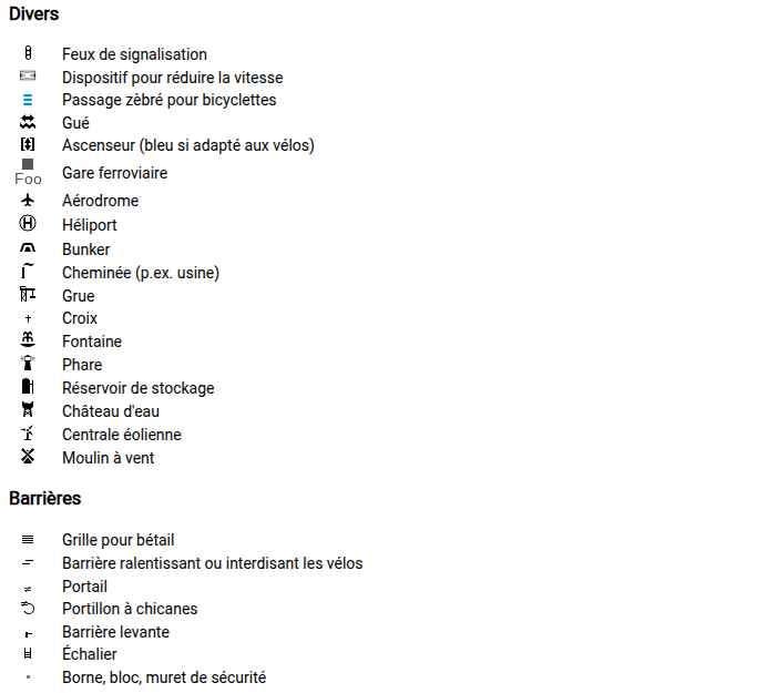
Here is the legend for the OpenCycleMap:
Cycle paths, greenways and cycle routes
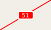 | 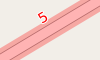 | National cycle route |
 |  | Regional cycle route |
 | 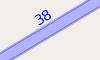 | Local cycle route |
 | Network of national nodes | |
 | Network of regional nodes | |
 | Network of local nodes | |
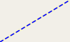 | Cycle path | |
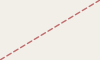 | Footpath (cycling prohibited) | |
 | A large cycle park with a capacity of 20 or more bicycles. | |
 | Small cycle parking area | |
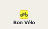 | bicycle shop | |
 | Bicycle hire station | |
 | Toilets | |
 | Coffee | |
 | Drinking water | |
 | Bar | |
 | Bar with free Wi-Fi | |
 | Shelter | |
 | Hospital | |
 | Post office | |
 | Letterbox |
Infrastructure
Cycle routes and roads
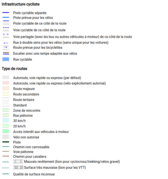
Mountain biking, cycle routes and cycling facilities
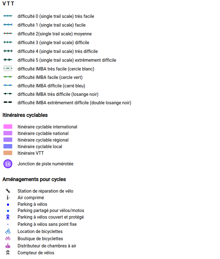
Natural sites and tourism
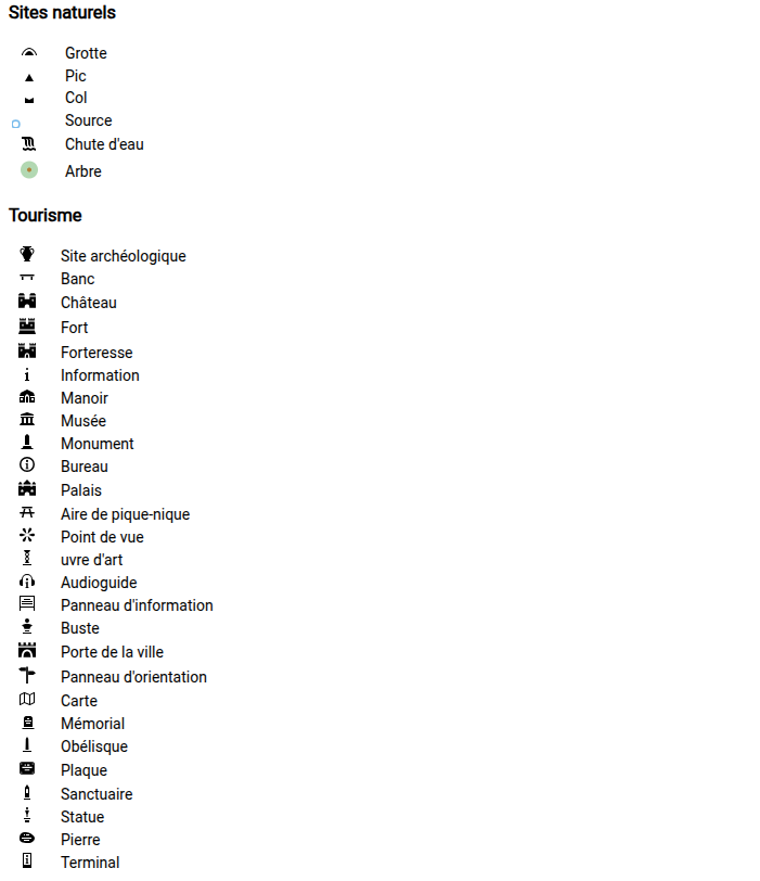
Emergency services, shops and housing
Other matters and barriers
IGN map key
Google Maps
To use Google Maps (see below)
- Stay up to date – receive headlines by email:
More maps
Articles and pages relating to maps and the Ardèche:
Sources:
- OpenCycleMap world map ↗
- OpenCycleMap map key ↗
- OpenStreetMap Wiki ↗
- Other maps, other legends, OpenRunner ↗
Ardèche+
- Towns and villages in the Ardèche
- Mobility and transport in the Ardèche
- Where to sleep in the Ardèche?
- Where to swim in the Ardèche?
- Greenways and cycle routes in the Ardèche
- Hiking in the Ardèche
- Ardèche Tourist Office
- The Drôme and Isère SNCF stations (just across the road 🙂